Explore The Routes
![]()
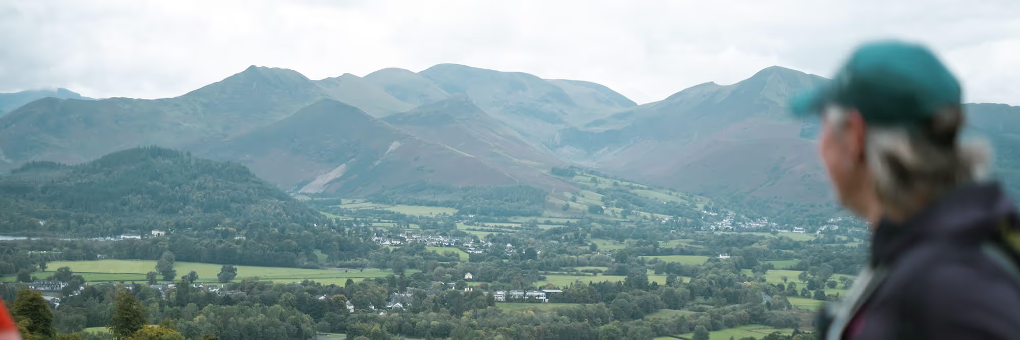
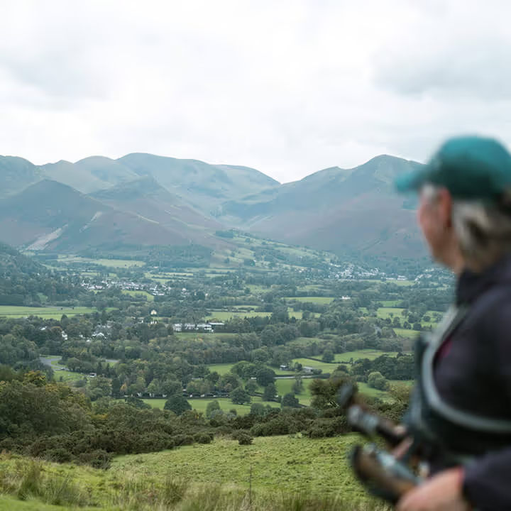
Approximately 184.3km of stunning trail and mountain running around the fells and lakes through all 13 Valleys of the Lake District National Park. Starting and finishing in Keswick, runners follow a route with 13 check points and feed stations. This route is not waymarked but runners will be given a road book as well as the GPX file prior to the race.
The 13 Valleys is open to experienced ultra runners on a self-qualification basis. The event represents an exceptional physical and mental challenge. Over and above the distance, there is significant elevation and uneven terrain to be navigated, some of it at night and in what could be challenging and changeable weather.
The 13 Valleys Ultra will rank alongside some of the toughest tests of ultra running in the world.
Route elevation and distance are subject to change and may vary. Any changes will be communicated prior to the event. Route GPX files can be found on this page or on Ordnance Survey website.
![]()
The 7 Valleys is a 110.3km race which takes on 7 valleys of the 13 Valleys route. The event follows a similar route to the 5 Valleys event, starting at Waterhead, Ambleside and finishing in Keswick, but with an additional loop of the central valleys. Participants will follow a route with 7 check points and feed stations to keep fuelled and motivated.
This route is not waymarked but runners will be given a road book as well as the GPX file prior to the race.
Route elevation and distance are subject to change and may vary. Any changes will be communicated prior to the event. Route GPX files is available to download on this page or on Ordnance Survey website.
![]()
The 5 Valleys is a 58.4km race which takes on 5 valleys of the 13 Valleys route. Starting at Waterhead, Ambleside and finishing in Keswick, participants will follow a fully way marked route with 3 check points and feed stations to keep fuelled and motivated.
Route elevation and distance are subject to change and may vary. Any changes will be communicated prior to the event. Route GPX file is available on this page or on Ordnance Survey website.
![]()
The 2 Valleys Trail is a 22.4km race which takes on 2 valleys of the 13 Valleys route. Starting and finishing in Keswick, participants will follow a fully way marked route with one feedstation to refuel.
Route elevation and distance are subject to change and may vary. Any changes will be communicated prior to the event. Route GPX file is available on this page or on Ordnance Survey website.